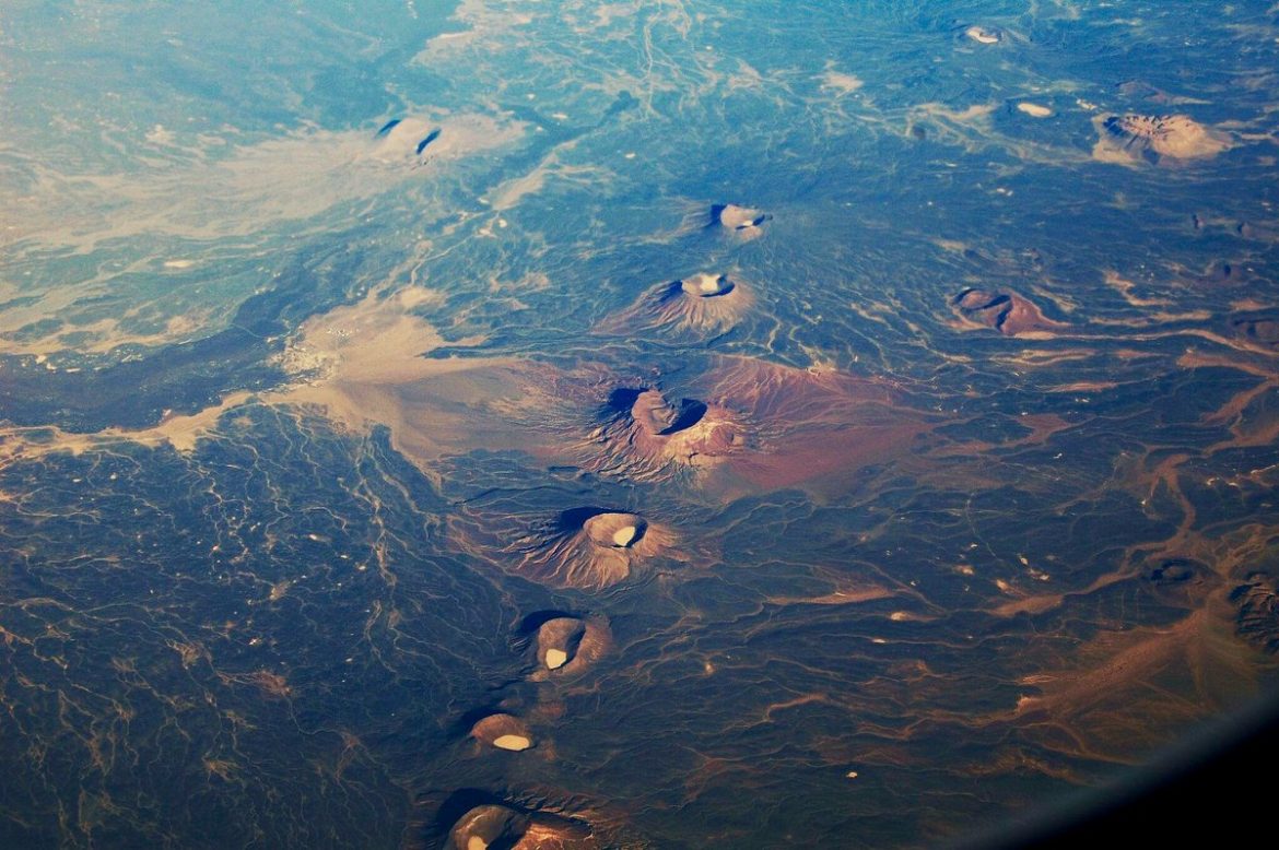
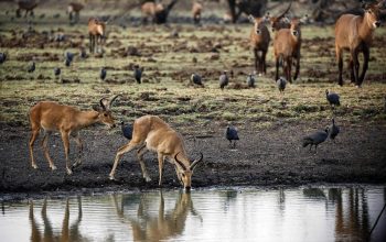
Jebel El Dair National Park (JADNP): covers a total area of 315,460 km2, falls within the northern limits of the dry savannah woodland – grassland. Its annual rainfall ranges between 250 mm and 600 mm starting at late May with a peak in August and diminishes towards the end of October. Jebel EL Dair, as the name designates, appears from a distance as a bunch of mountain tops, clustering in a circular form, with several peaks of varying heights, some of which rise up to over 1400 meters above sea level. The PA contains a variety of habitats in four distinct biophysical environments with their specific fauna and flora, including the Higher elevation slopes and escarpments (at 900 to 1424 m), fawas or enclosed flat plains between the grouping humps and peaks of the massif (at 900- 1200 m), upland valleys and streams (at 800- 1200 m and the lower slopes down the foot hills (at 500-800 m). Jebel El Dair became a biosphere reserve in 2016. The only remaining intact natural forests in the eastern part of North Kordofan are found in JADNP. Most of the population living around JADNP depend on the resources of the park (the mountain in particular). The resources include wood, grazing pasture, medicinal and aromatic plants and grasses, fruits and honey, and bush meat.[1] The majority gets these from the core zone (the mountain), with smaller numbers getting these from around the mountain.


I simply couldn’t depart your web site prior to suggesting
that I extremely loved the usual information a person provide to your visitors?
Is going to be back ceaselessly to inspect new posts
Thank you very much, we are glad for your comment
This is inspired! I’m glad I spotted your post as it’s better
than similar blogs I’ve read from most other bloggers about this subject.
May I ask you to clarify some things? Perhaps provide another example?
many thanks!
Thank you very much,yes you can ask
we are glad for your comment
This is very well detailed and helpful, thankyou. I appreciate the way you touch on points minus
hyperbole. It’s useful information and I deem you worth sharing.
Thank you very much, we are glad for your comment
I got this site from my buddy who told me about this site and now this time I am
visiting this website and reading very informative articles or reviews at this place.
Thank you very much, we are glad for your comment
This writing is a new view at an old issue.
Thanks! I will be sharing this!
Thank you very much, we are glad for your comment
The articles you write help me a lot and I like the topic
We are happy about that and your comment
What’s up, everything is going nicely heere andd ofcourse every one iss sharing facts, that’s genuinely fine, kep
up writing.
Thank you very much, we are glad for your comment
thank you very much. We are glad for your comment
Woah! I’m enjoying the template/theme of this website. It’s simple, yet effective. A lot of times it’s very hard to get that “perfect balance” between superb usability and visual appeal. I must say you’ve done a very good job with this.
We are glad for your comment. Thank you very much