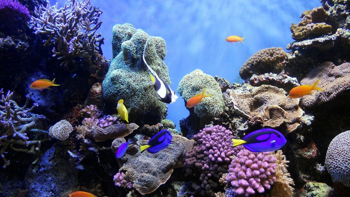
Dungonab Bay and Mukkawar Island National Park (DBMINP) was declared by the Government of Sudan in 2004. And lies in Red Sea State on the eastern coastal boundary of Sudan. The southern boundary of DBMINP is located approximately 160 kilometres north of Port Sudan and the Park extends north over 200 kilometres of Red Sea coastline. The total park area is 2,800 km2, which includes 800 km2 of land and 2,000 km2 of marine habitat. DBMINP incorporates reefs, islands, khors, sand and mud bays, seagrass beds, some mangroves and offshore marine habitats. On its western (landward) side, the Park includes a substantial area of coastal land between 5km and 10km wide. On its eastern (seaward) side, the Park extends between 5km offshore and 35km offshore covering the area of Mukkawar Island and the large complex of reefs to the south of the Dungonab Peninsula. The land area of the Park is generally flat, crossed to the northern part of the Park by Khor Shanab, a seasonal channel that is fed from a long line of hills which run roughly parallel to the coast at a distance of between 20 and 50 miles from the sea. These hills reach up to 1,200m above sea level. The Red Sea State (under which the DMNP falls) is extremely water deficient, with annual moisture ranging between 40 and 60 mm. Neither the saline soils found on the coastal plains nor the rocky soils found in the hills hold groundwater which means fodder and thus grazing opportunities are limited as are opportunities for cultivation. The Dungonab Bay and Mukkawar Island National Park includes two key villages, Mohammed Qol and Dungonab, situated within the Jabait al Maadin Locality. This locality is the poorest in the state without full access to basic services including health, sufficient water supply, education, animal health services and sanitation. The two villages are found within the buffer zone of the park, which ranges 5-10 km wide along the coast. The population of both villages is made up of roughly 2,000 people. The communities living in the two villages are predominantly of the Beja people. Fishing is the main source of livelihood. Other activities supplement fishing, including small-scale household livestock (goats, sheep and poultry), and small businesses that are mainly run by women and include sales of dry fish, biscuits and bread, salt, and other small commodities
Mohamed Qol and Dungonab: are predominantly a fishing society, and to alleviate pressure on the bay and near-shore ecosystem, the project will support sustainable deep-sea fishing, where a dedicated company will be set up, with participants trained and capacitated to take fishing vessels out to sea, away from the pressured areas of the littoral. This will be managed on a quid pro quo basis where support will only be provided in exchange for no longer fishing in the shallow areas. To supplement income and diversify livelihoods, particularly women in the two villages, who were found to be resilient and highly flexible, will be supported through training in business administration and financial management, savings schemes and setting up small sustainable businesses through a small grant mechanism. Eco-tourism development is expected to take place over time in partnership with the two villages of Dungonab and Mohamed Qol and existing tourism operators to choose the type of tourism the villages and the park should attract and benefits for the two communities will be maximised through the co-development process, with respect to IUCN and UNESCO guidelines for tourism development in World Natural Heritage Property.


I like this…Helpful read, but I am not sure where to go next.
Which of your articles would you recommend I read next?
Thank you so much for viewing all of the site
We are happy for your comment
This is better info than I can find so far.
Thank you very much, we are glad for your comment
Hello hcenr.gov.sd webmaster, Nice post!
Thank you very much, we are glad for your comment
I love reading a post that will make men and women think. Also, thanks for allowing for me to comment!
We are glad for your comment. Thank you very much